Ouseburn Methodist Mission Hall
Introduction
The photograph on this page of Ouseburn Methodist Mission Hall by Peter McDermott as part of the Geograph project.
The Geograph project started in 2005 with the aim of publishing, organising and preserving representative images for every square kilometre of Great Britain, Ireland and the Isle of Man.

There are currently over 7.5m images from over 14,400 individuals and you can help contribute to the project by visiting https://www.geograph.org.uk
Ouseburn Methodist Mission Hall
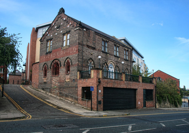
Image: © Peter McDermott Taken: 22 Sep 2012
The old Ouseburn Methodist Mission Hall which has been home to a number of businesses, most recently an Italian restaurant. Looks now to be a private dwelling house.
Images are licensed for reuse under creativecommons.org/licenses/by-sa/2.0
Image Location
Latitude
54.972185
Longitude
-1.592718