Rugby-Overslade
Introduction
The photograph on this page of Rugby-Overslade by Ian Rob as part of the Geograph project.
The Geograph project started in 2005 with the aim of publishing, organising and preserving representative images for every square kilometre of Great Britain, Ireland and the Isle of Man.

There are currently over 7.5m images from over 14,400 individuals and you can help contribute to the project by visiting https://www.geograph.org.uk
Rugby-Overslade
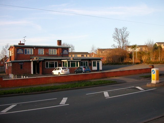
Image: © Ian Rob Taken: 14 Jan 2007
The Three Cranes Public House. Built in the 1950s to serve the expanding housing estates in the area, it is now fairly run down and the future is uncertain as Housing Developers have an eye on the land.
Images are licensed for reuse under creativecommons.org/licenses/by-sa/2.0
Image Location
Latitude
52.359159
Longitude
-1.278971