Briantspuddle Village Hall
Introduction
The photograph on this page of Briantspuddle Village Hall by Mike Faherty as part of the Geograph project.
The Geograph project started in 2005 with the aim of publishing, organising and preserving representative images for every square kilometre of Great Britain, Ireland and the Isle of Man.

There are currently over 7.5m images from over 14,400 individuals and you can help contribute to the project by visiting https://www.geograph.org.uk
Briantspuddle Village Hall
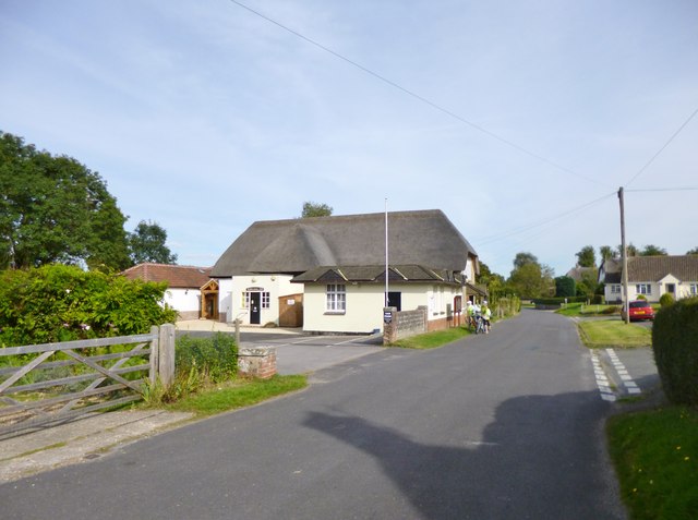
Image: © Mike Faherty Taken: 22 Sep 2012
On the village street, with Bladen Social Club, left; the village shop and post office are hidden next the hall. The building is a former barn, listed by English Heritage: http://www.imagesofengland.org.uk/Details/Default.aspx?id=108497&mode=adv
Images are licensed for reuse under creativecommons.org/licenses/by-sa/2.0
Image Location
Latitude
50.738033
Longitude
-2.259138