Llwybr Arfordir Cymru / Wales Coastal Path
Introduction
The photograph on this page of Llwybr Arfordir Cymru / Wales Coastal Path by Alan Richards as part of the Geograph project.
The Geograph project started in 2005 with the aim of publishing, organising and preserving representative images for every square kilometre of Great Britain, Ireland and the Isle of Man.

There are currently over 7.5m images from over 14,400 individuals and you can help contribute to the project by visiting https://www.geograph.org.uk
Llwybr Arfordir Cymru / Wales Coastal Path
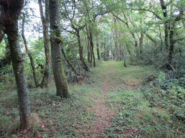
Image: © Alan Richards Taken: 21 Sep 2012
Llwybr Arfordir Cymru yn mynd drwy goed yn ardal Llangain Wales Coastal Path going through woods in the Llangain area
Images are licensed for reuse under creativecommons.org/licenses/by-sa/2.0
Image Location
Latitude
51.800196
Longitude
-4.36518