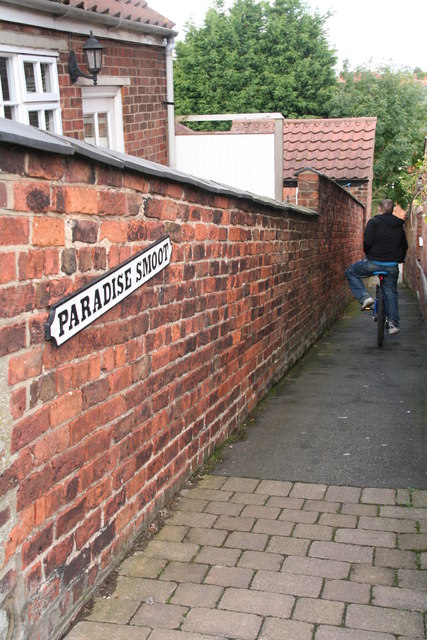
Paradise Smoot
Introduction
The photograph on this page of Paradise Smoot by Chris as part of the Geograph project.
The Geograph project started in 2005 with the aim of publishing, organising and preserving representative images for every square kilometre of Great Britain, Ireland and the Isle of Man.
There are currently over 7.5m images from over 14,400 individuals and you can help contribute to the project by visiting https://www.geograph.org.uk

Image: © Chris Taken: 22 Sep 2012
This is one of three narrow, steep walkways that lead down to "The Gatherums", which is a park aligned with a path from Church St. to Aswell St. The name comes from the Danish word 'smutte', which means a narrow passage between two houses. This area was under Danish control in the 9th century, though the walkway only received the name in 2009. 'Paradise' was the name of an old orchard upon which Kidgate School (opposite) was built. For more smoots, though not bearing this name, see Image; Image

