Bridgewater Monument
Introduction
The photograph on this page of Bridgewater Monument by Peter S as part of the Geograph project.
The Geograph project started in 2005 with the aim of publishing, organising and preserving representative images for every square kilometre of Great Britain, Ireland and the Isle of Man.

There are currently over 7.5m images from over 14,400 individuals and you can help contribute to the project by visiting https://www.geograph.org.uk
Bridgewater Monument
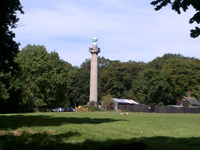
Image: © Peter S Taken: 8 Sep 2012
A less familiar angle, the monument is seen here from woodland away from the main picnic area.
Images are licensed for reuse under creativecommons.org/licenses/by-sa/2.0
Image Location
Latitude
51.808967
Longitude
-0.596615