National Cycle Network route 1 near Haverley House
Introduction
The photograph on this page of National Cycle Network route 1 near Haverley House by Oliver Dixon as part of the Geograph project.
The Geograph project started in 2005 with the aim of publishing, organising and preserving representative images for every square kilometre of Great Britain, Ireland and the Isle of Man.

There are currently over 7.5m images from over 14,400 individuals and you can help contribute to the project by visiting https://www.geograph.org.uk
National Cycle Network route 1 near Haverley House
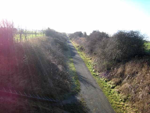
Image: © Oliver Dixon Taken: 16 Jan 2007
National Cycle Network http://www.sustrans.org.uk/default.asp?sID=1089735289781 route 1 is the principal long-distance cycle route up the east side of Britain. Here (between Ryhope and South Hetton) it follows a long length of the disused railway.
Images are licensed for reuse under creativecommons.org/licenses/by-sa/2.0
Image Location
Latitude
54.831989
Longitude
-1.396423