Kennet and Avon Canal south of Honeystreet
Introduction
The photograph on this page of Kennet and Avon Canal south of Honeystreet by Peter S as part of the Geograph project.
The Geograph project started in 2005 with the aim of publishing, organising and preserving representative images for every square kilometre of Great Britain, Ireland and the Isle of Man.

There are currently over 7.5m images from over 14,400 individuals and you can help contribute to the project by visiting https://www.geograph.org.uk
Kennet and Avon Canal south of Honeystreet
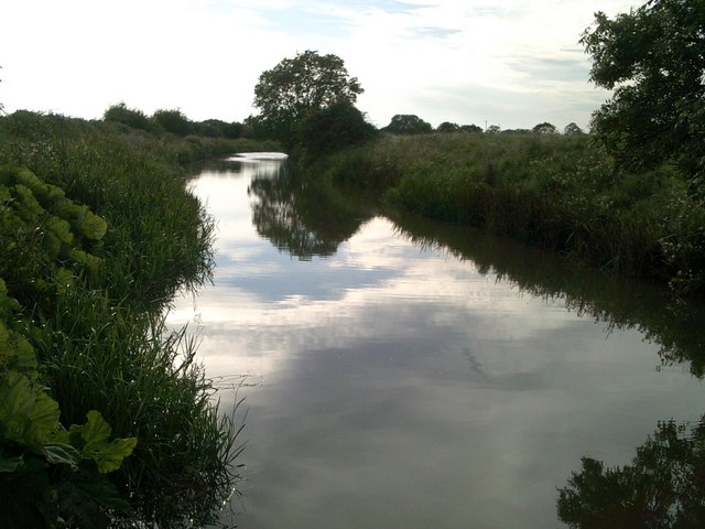
Image: © Peter S Taken: 11 Aug 2012
Photo taken from a bridge where the tow path continues on the north side of the canal if walking alongside the canal from the west.
Images are licensed for reuse under creativecommons.org/licenses/by-sa/2.0
Image Location
Latitude
51.353024
Longitude
-1.853479