Junction of Crawley Lane and High Street, Near Balcombe, West Sussex
Introduction
The photograph on this page of Junction of Crawley Lane and High Street, Near Balcombe, West Sussex by Pete Chapman as part of the Geograph project.
The Geograph project started in 2005 with the aim of publishing, organising and preserving representative images for every square kilometre of Great Britain, Ireland and the Isle of Man.

There are currently over 7.5m images from over 14,400 individuals and you can help contribute to the project by visiting https://www.geograph.org.uk
Junction of Crawley Lane and High Street, Near Balcombe, West Sussex
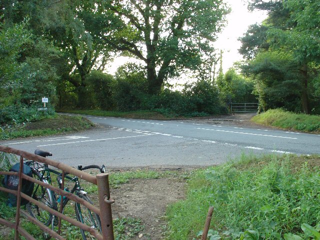
Image: © Pete Chapman Taken: 28 Jul 2005
The only road junction in the grid square. High Street is a rural road that runs along the top of a wide ridge (not the more common urban type of High Street). View taken from the East side. Crawley Lane is on the left, with the entrance drive to Green Trees farm opposite it.
Images are licensed for reuse under creativecommons.org/licenses/by-sa/2.0
Image Location


Leaflet Map data © OpenStreetMap
Latitude
51.077175
Longitude
-0.149912