Track near Cotwalton
Introduction
The photograph on this page of Track near Cotwalton by Derek Harper as part of the Geograph project.
The Geograph project started in 2005 with the aim of publishing, organising and preserving representative images for every square kilometre of Great Britain, Ireland and the Isle of Man.

There are currently over 7.5m images from over 14,400 individuals and you can help contribute to the project by visiting https://www.geograph.org.uk
Track near Cotwalton
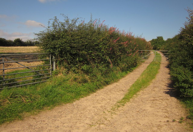
Image: © Derek Harper Taken: 7 Sep 2012
Rosebay willow-herb sprouts from the hedge at the start of this field access track, seen from the lane between Cotwalton and Hilderstone.
Images are licensed for reuse under creativecommons.org/licenses/by-sa/2.0
Image Location
Latitude
52.911391
Longitude
-2.104643