Flood wall going up at No.9 Forester's Terrace
Introduction
The photograph on this page of Flood wall going up at No.9 Forester's Terrace by Robin Stott as part of the Geograph project.
The Geograph project started in 2005 with the aim of publishing, organising and preserving representative images for every square kilometre of Great Britain, Ireland and the Isle of Man.

There are currently over 7.5m images from over 14,400 individuals and you can help contribute to the project by visiting https://www.geograph.org.uk
Flood wall going up at No.9 Forester's Terrace
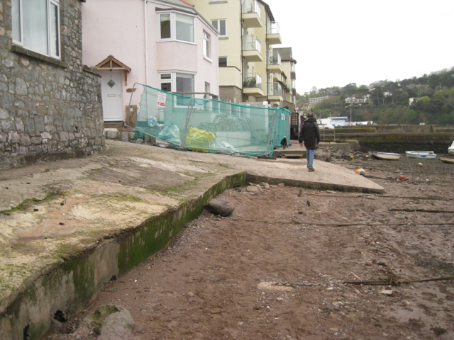
Image: © Robin Stott Taken: 5 May 2012
A concrete floodwall is being clad with local stone, requiring a diversion of the public right of way along the back beach.
Images are licensed for reuse under creativecommons.org/licenses/by-sa/2.0
Image Location
Latitude
50.543155
Longitude
-3.498459