Airport buildings at Manchester
Introduction
The photograph on this page of Airport buildings at Manchester by M J Richardson as part of the Geograph project.
The Geograph project started in 2005 with the aim of publishing, organising and preserving representative images for every square kilometre of Great Britain, Ireland and the Isle of Man.

There are currently over 7.5m images from over 14,400 individuals and you can help contribute to the project by visiting https://www.geograph.org.uk
Airport buildings at Manchester
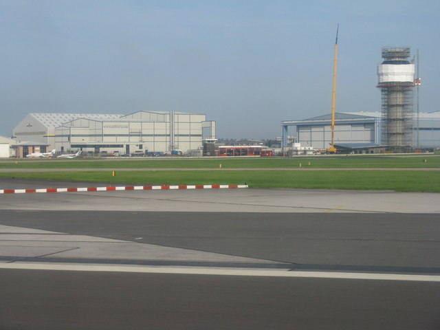
Image: © M J Richardson Taken: 3 Sep 2012
Various hangars and workshops, the fire station, and the new Air Traffic Control Tower, costing £16m, which is expected to be operational by spring 2013. It is 60m tall and the main structure was erected in 9 days by a process of pouring concrete continuously for 222 hours.
Images are licensed for reuse under creativecommons.org/licenses/by-sa/2.0
Image Location
Latitude
53.357408
Longitude
-2.280774