Clockhouse Lane East
Introduction
The photograph on this page of Clockhouse Lane East by Alan Hunt as part of the Geograph project.
The Geograph project started in 2005 with the aim of publishing, organising and preserving representative images for every square kilometre of Great Britain, Ireland and the Isle of Man.

There are currently over 7.5m images from over 14,400 individuals and you can help contribute to the project by visiting https://www.geograph.org.uk
Clockhouse Lane East
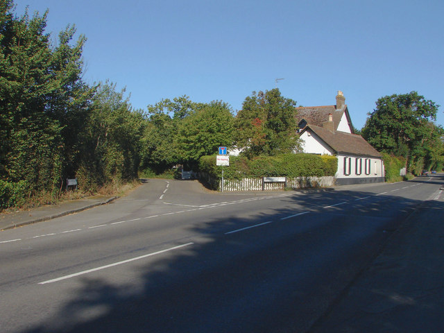
Image: © Alan Hunt Taken: 19 Sep 2012
The junction of Clockhouse Lane East with Thorpe Lea Road. The Clockhouse sits in the crook of the junction. There is a Clockhouse Lane West since the M25 bisected the lane in the 1980s.
Images are licensed for reuse under creativecommons.org/licenses/by-sa/2.0
Image Location
Latitude
51.420494
Longitude
-0.535915