Essex from the air
Introduction
The photograph on this page of Essex from the air by Thomas Nugent as part of the Geograph project.
The Geograph project started in 2005 with the aim of publishing, organising and preserving representative images for every square kilometre of Great Britain, Ireland and the Isle of Man.

There are currently over 7.5m images from over 14,400 individuals and you can help contribute to the project by visiting https://www.geograph.org.uk
Essex from the air
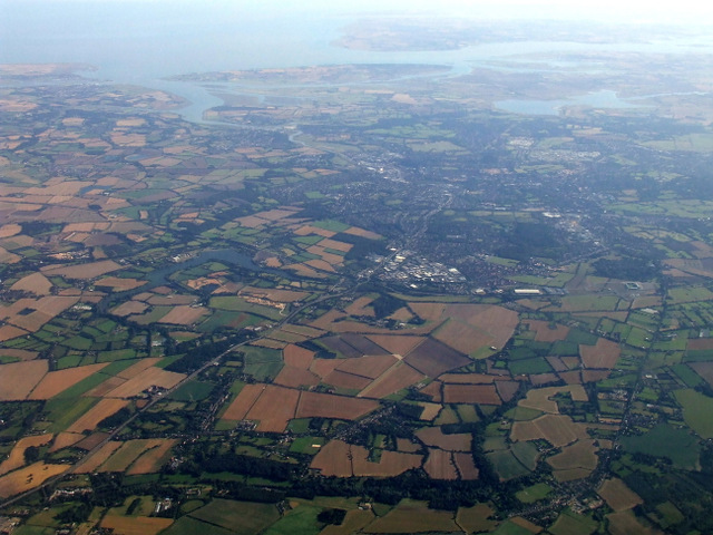
Image: © Thomas Nugent Taken: 7 Sep 2012
Former RAF Boxted http://en.wikipedia.org/wiki/RAF_Boxted can be seen amongst the field pattern below the centre of the photo. Colchester can be seen beyond.
Images are licensed for reuse under creativecommons.org/licenses/by-sa/2.0
Image Location
Latitude
51.945491
Longitude
0.930407