Bridleway over the M25 to Bedmond
Introduction
The photograph on this page of Bridleway over the M25 to Bedmond by Bikeboy as part of the Geograph project.
The Geograph project started in 2005 with the aim of publishing, organising and preserving representative images for every square kilometre of Great Britain, Ireland and the Isle of Man.

There are currently over 7.5m images from over 14,400 individuals and you can help contribute to the project by visiting https://www.geograph.org.uk
Bridleway over the M25 to Bedmond
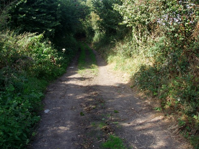
Image: © Bikeboy Taken: 9 Sep 2012
Contrast this to http://www.geograph.org.uk/photo/392549 taken in April. By September the path is much more overgrown. I'll try to come back in winter-mud permitting!
Images are licensed for reuse under creativecommons.org/licenses/by-sa/2.0
Image Location
Latitude
51.709015
Longitude
-0.395633