W2W cycle route, Moorsley Road, Hetton-le-Hole
Introduction
The photograph on this page of W2W cycle route, Moorsley Road, Hetton-le-Hole by Oliver Dixon as part of the Geograph project.
The Geograph project started in 2005 with the aim of publishing, organising and preserving representative images for every square kilometre of Great Britain, Ireland and the Isle of Man.

There are currently over 7.5m images from over 14,400 individuals and you can help contribute to the project by visiting https://www.geograph.org.uk
W2W cycle route, Moorsley Road, Hetton-le-Hole
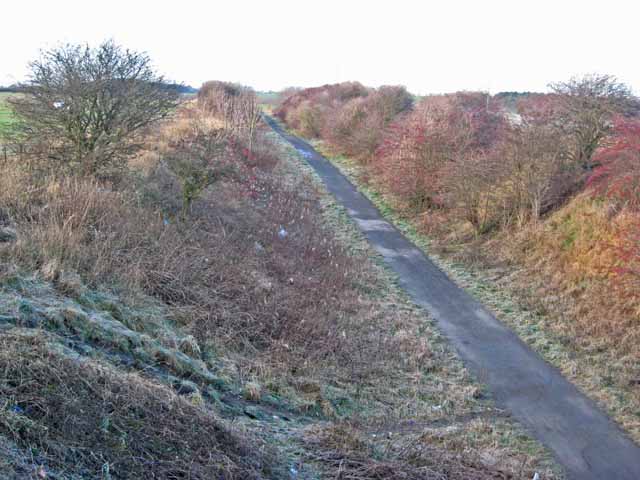
Image: © Oliver Dixon Taken: 16 Jan 2007
The W2W http://www.cyclingw2w.info/ cycle route is a 241 Km cycle route which runs from Walney Island (Barrow-in-Furness) to the Wear (Sunderland) as an alternative crossing of the north Pennines to the world-famous C2C. http://www.c2c-guide.co.uk/ Over the section illustrated here between Pittington and Hetton-le-Hole it follows the line of one of the many disused mineral railways in County Durham.
Images are licensed for reuse under creativecommons.org/licenses/by-sa/2.0
Image Location
Latitude
54.81612
Longitude
-1.461706