Bere Haugh
Introduction
The photograph on this page of Bere Haugh by Richard Webb as part of the Geograph project.
The Geograph project started in 2005 with the aim of publishing, organising and preserving representative images for every square kilometre of Great Britain, Ireland and the Isle of Man.

There are currently over 7.5m images from over 14,400 individuals and you can help contribute to the project by visiting https://www.geograph.org.uk
Bere Haugh
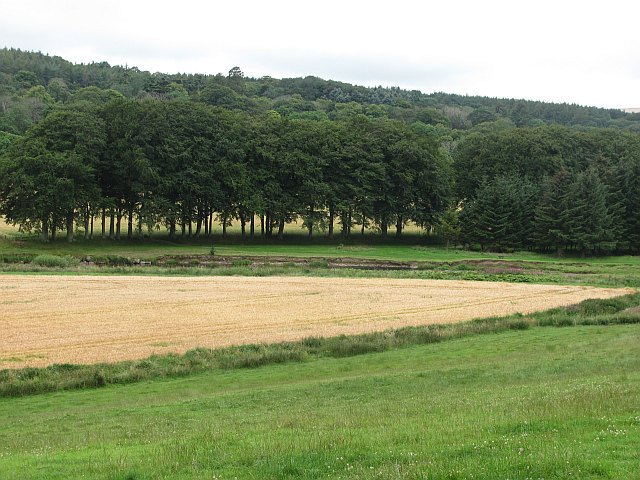
Image: © Richard Webb Taken: 4 Aug 2011
Barley growing on what seems from the name, a place long associated with arable agriculture.
Images are licensed for reuse under creativecommons.org/licenses/by-sa/2.0
Image Location
Latitude
57.578003
Longitude
-2.508142