Lower Muirden
Introduction
The photograph on this page of Lower Muirden by Richard Webb as part of the Geograph project.
The Geograph project started in 2005 with the aim of publishing, organising and preserving representative images for every square kilometre of Great Britain, Ireland and the Isle of Man.

There are currently over 7.5m images from over 14,400 individuals and you can help contribute to the project by visiting https://www.geograph.org.uk
Lower Muirden
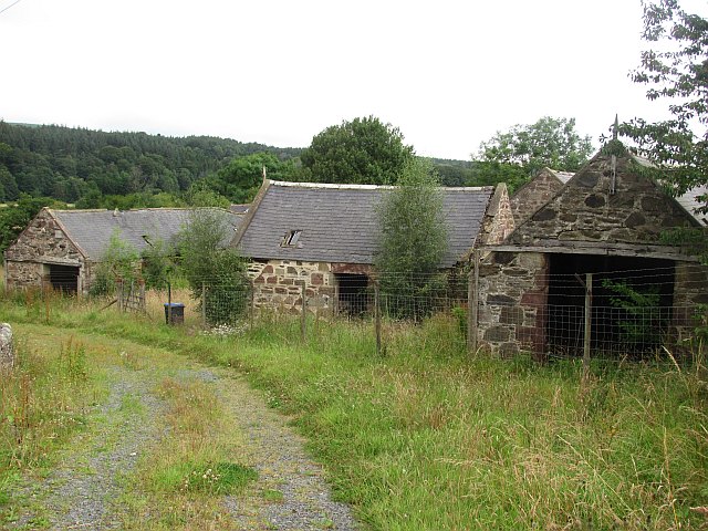
Image: © Richard Webb Taken: 4 Aug 2011
The steading was derelict in 2007 and little had changed. Image] The name is Nether Muirden on older Ordnance Survey maps.
Images are licensed for reuse under creativecommons.org/licenses/by-sa/2.0
Image Location
Latitude
57.575506
Longitude
-2.503593