Coventry Canal: Mount Pleasant, Tamworth, Reach
Introduction
The photograph on this page of Coventry Canal: Mount Pleasant, Tamworth, Reach by Nigel Cox as part of the Geograph project.
The Geograph project started in 2005 with the aim of publishing, organising and preserving representative images for every square kilometre of Great Britain, Ireland and the Isle of Man.

There are currently over 7.5m images from over 14,400 individuals and you can help contribute to the project by visiting https://www.geograph.org.uk
Coventry Canal: Mount Pleasant, Tamworth, Reach
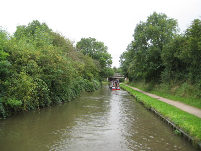
Image: © Nigel Cox Taken: 10 Sep 2012
The canal runs straight and due north-south here before making the turn to go under the A51 road bridge, visible in the distance, and then over Image
Images are licensed for reuse under creativecommons.org/licenses/by-sa/2.0
Image Location
Latitude
52.618065
Longitude
-1.690369