River Way
Introduction
The photograph on this page of River Way by Evelyn Simak as part of the Geograph project.
The Geograph project started in 2005 with the aim of publishing, organising and preserving representative images for every square kilometre of Great Britain, Ireland and the Isle of Man.

There are currently over 7.5m images from over 14,400 individuals and you can help contribute to the project by visiting https://www.geograph.org.uk
River Way
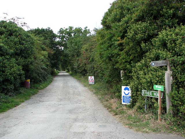
Image: © Evelyn Simak Taken: 20 Sep 2012
The track provides access to a number of properties along the way and also serves as a public footpath, leading to the River Waveney.
Images are licensed for reuse under creativecommons.org/licenses/by-sa/2.0
Image Location
Latitude
52.571623
Longitude
1.653527