Mills at Hollins, from the air
Introduction
The photograph on this page of Mills at Hollins, from the air by M J Richardson as part of the Geograph project.
The Geograph project started in 2005 with the aim of publishing, organising and preserving representative images for every square kilometre of Great Britain, Ireland and the Isle of Man.

There are currently over 7.5m images from over 14,400 individuals and you can help contribute to the project by visiting https://www.geograph.org.uk
Mills at Hollins, from the air
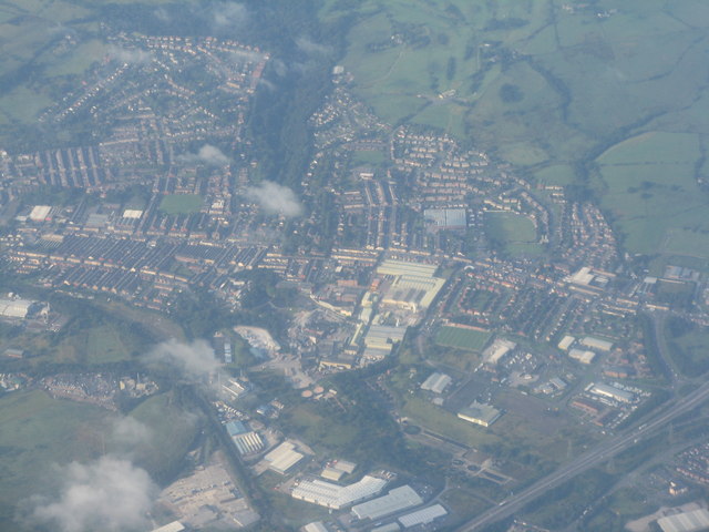
Image: © M J Richardson Taken: 3 Sep 2012
Looking southwest across Darwen from above the M65 [J4 at the right of the picture] towards the A666 [Blackburn to Bolton] road.
Images are licensed for reuse under creativecommons.org/licenses/by-sa/2.0
Image Location
Latitude
53.709752
Longitude
-2.479462