House at Aston-by-Stone
Introduction
The photograph on this page of House at Aston-by-Stone by Derek Harper as part of the Geograph project.
The Geograph project started in 2005 with the aim of publishing, organising and preserving representative images for every square kilometre of Great Britain, Ireland and the Isle of Man.

There are currently over 7.5m images from over 14,400 individuals and you can help contribute to the project by visiting https://www.geograph.org.uk
House at Aston-by-Stone
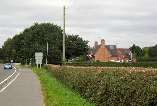
Image: © Derek Harper Taken: 7 Sep 2012
A detail of the scene in Image], with Oak House beside the main road at the junction with Bowers Lane.
Images are licensed for reuse under creativecommons.org/licenses/by-sa/2.0
Image Location


Leaflet Map data © OpenStreetMap
Latitude
52.877565
Longitude
-2.131009