Gareloch Road
Introduction
The photograph on this page of Gareloch Road by Lairich Rig as part of the Geograph project.
The Geograph project started in 2005 with the aim of publishing, organising and preserving representative images for every square kilometre of Great Britain, Ireland and the Isle of Man.

There are currently over 7.5m images from over 14,400 individuals and you can help contribute to the project by visiting https://www.geograph.org.uk
Gareloch Road
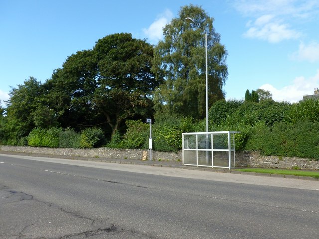
Image: © Lairich Rig Taken: 12 Sep 2012
The bus stop faces a road leading to Rhu Marina, and is just out of shot to the right in another photo: Image In the present photograph, the object that is set in the wall, just left of centre, is an old milestone; for a closer look, see Image
Images are licensed for reuse under creativecommons.org/licenses/by-sa/2.0
Image Location
Latitude
56.013676
Longitude
-4.771616