Moving towards Clifton
Introduction
The photograph on this page of Moving towards Clifton by Alan Murray-Rust as part of the Geograph project.
The Geograph project started in 2005 with the aim of publishing, organising and preserving representative images for every square kilometre of Great Britain, Ireland and the Isle of Man.

There are currently over 7.5m images from over 14,400 individuals and you can help contribute to the project by visiting https://www.geograph.org.uk
Moving towards Clifton
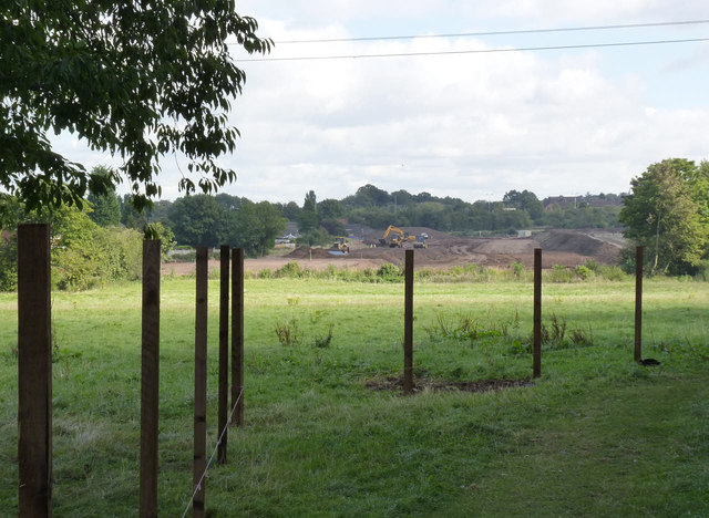
Image: © Alan Murray-Rust Taken: 19 Sep 2012
The new alignment towards Clifton is well under way on the east side of Fairham Brook. Here a part of Clifton Playing Fields is being fenced off prior to work commencing.
Images are licensed for reuse under creativecommons.org/licenses/by-sa/2.0
Image Location
Latitude
52.910491
Longitude
-1.166209