Western end of a long footbridge, Ynyshir
Introduction
The photograph on this page of Western end of a long footbridge, Ynyshir by Jaggery as part of the Geograph project.
The Geograph project started in 2005 with the aim of publishing, organising and preserving representative images for every square kilometre of Great Britain, Ireland and the Isle of Man.

There are currently over 7.5m images from over 14,400 individuals and you can help contribute to the project by visiting https://www.geograph.org.uk
Western end of a long footbridge, Ynyshir
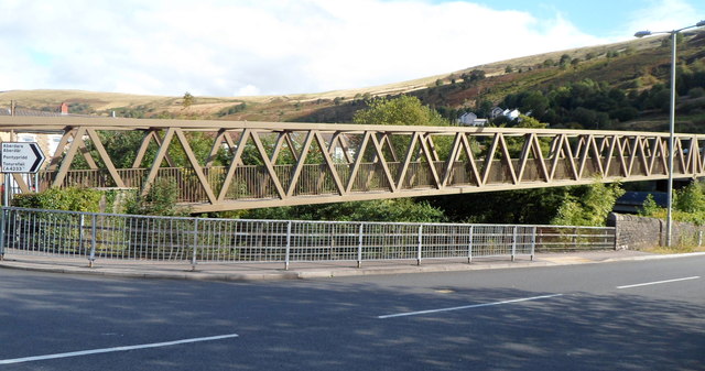
Image: © Jaggery Taken: 19 Sep 2012
Viewed from Aberrhondda Road. The footbridge extends for about 120 metres, across the Rhondda Fach river and the A4233. The other end is near Ynyshir Community Primary School http://www.geograph.org.uk/photo/3139596 in Llanwonno Road.
Images are licensed for reuse under creativecommons.org/licenses/by-sa/2.0
Image Location
Latitude
51.622025
Longitude
-3.41066