Field near Seighford Hall
Introduction
The photograph on this page of Field near Seighford Hall by Derek Harper as part of the Geograph project.
The Geograph project started in 2005 with the aim of publishing, organising and preserving representative images for every square kilometre of Great Britain, Ireland and the Isle of Man.

There are currently over 7.5m images from over 14,400 individuals and you can help contribute to the project by visiting https://www.geograph.org.uk
Field near Seighford Hall
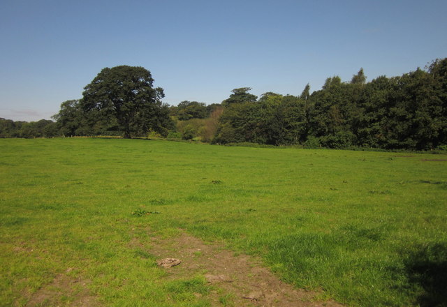
Image: © Derek Harper Taken: 7 Sep 2012
The field, with a large oak tree in it, is crossed by a public footpath to Long Covert. The trees shield the grounds of the hall - see Image Seen from a gateway on Clanford Road.
Images are licensed for reuse under creativecommons.org/licenses/by-sa/2.0
Image Location
Latitude
52.825981
Longitude
-2.186952