Henddol farmhouse.
Introduction
The photograph on this page of Henddol farmhouse. by Hefin Richards as part of the Geograph project.
The Geograph project started in 2005 with the aim of publishing, organising and preserving representative images for every square kilometre of Great Britain, Ireland and the Isle of Man.

There are currently over 7.5m images from over 14,400 individuals and you can help contribute to the project by visiting https://www.geograph.org.uk
Henddol farmhouse.
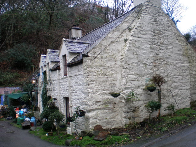
Image: © Hefin Richards Taken: 16 Jan 2007
Henddol farmhouse has "DW 1773" carved into a stone on its front wall.
Images are licensed for reuse under creativecommons.org/licenses/by-sa/2.0
Image Location


Leaflet Map data © OpenStreetMap
Latitude
52.690975
Longitude
-4.045921