Loughbrickland lake (4)
Introduction
The photograph on this page of Loughbrickland lake (4) by Albert Bridge as part of the Geograph project.
The Geograph project started in 2005 with the aim of publishing, organising and preserving representative images for every square kilometre of Great Britain, Ireland and the Isle of Man.

There are currently over 7.5m images from over 14,400 individuals and you can help contribute to the project by visiting https://www.geograph.org.uk
Loughbrickland lake (4)
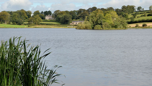
Image: © Albert Bridge Taken: 19 Sep 2012
Park of Loughbrickland lake seen from a recently-opened path along the western shore. There is also an area of reedmace, part of which can be seen at bottom left.
Images are licensed for reuse under creativecommons.org/licenses/by-sa/2.0
Image Location
Latitude
54.303449
Longitude
-6.293759