Floodbank, Newry
Introduction
The photograph on this page of Floodbank, Newry by Albert Bridge as part of the Geograph project.
The Geograph project started in 2005 with the aim of publishing, organising and preserving representative images for every square kilometre of Great Britain, Ireland and the Isle of Man.

There are currently over 7.5m images from over 14,400 individuals and you can help contribute to the project by visiting https://www.geograph.org.uk
Floodbank, Newry
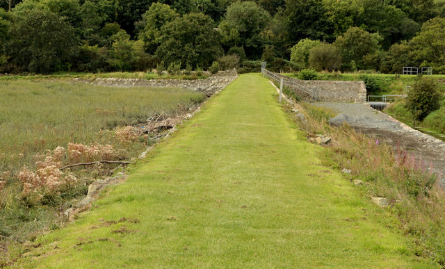
Image: © Albert Bridge Taken: 19 Sep 2012
Part of the flood-prevention measures, close to the Warrenpoint Road, between the marshy ground (left), the tidal Newry/Clanrye River (background) and the reclaimed land (right) upon which the Greenbank industrial estate was built.
Images are licensed for reuse under creativecommons.org/licenses/by-sa/2.0
Image Location
Latitude
54.149287
Longitude
-6.320617