Maize crop
Introduction
The photograph on this page of Maize crop by Jonathan Billinger as part of the Geograph project.
The Geograph project started in 2005 with the aim of publishing, organising and preserving representative images for every square kilometre of Great Britain, Ireland and the Isle of Man.

There are currently over 7.5m images from over 14,400 individuals and you can help contribute to the project by visiting https://www.geograph.org.uk
Maize crop
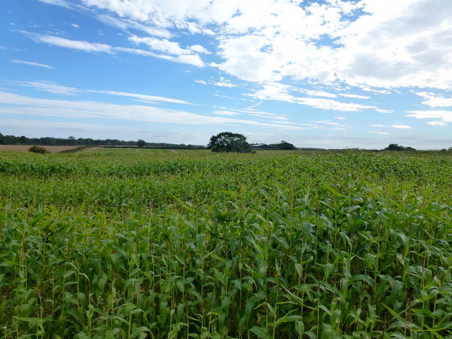
Image: © Jonathan Billinger Taken: 4 Sep 2012
Looking south into the gridsquare towards the buildings at Dodcott Grange.
Images are licensed for reuse under creativecommons.org/licenses/by-sa/2.0
Image Location
Latitude
52.973092
Longitude
-2.568356