Pasture land near the Weaver
Introduction
The photograph on this page of Pasture land near the Weaver by Jonathan Billinger as part of the Geograph project.
The Geograph project started in 2005 with the aim of publishing, organising and preserving representative images for every square kilometre of Great Britain, Ireland and the Isle of Man.

There are currently over 7.5m images from over 14,400 individuals and you can help contribute to the project by visiting https://www.geograph.org.uk
Pasture land near the Weaver
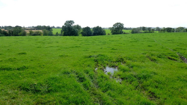
Image: © Jonathan Billinger Taken: 4 Sep 2012
The river has cut a shallow valley through the south Cheshire plateau. It flows at the end of this field opposite Bleak House Farm .
Images are licensed for reuse under creativecommons.org/licenses/by-sa/2.0
Image Location
Latitude
52.996432
Longitude
-2.556147