Grey Friars, Stafford
Introduction
The photograph on this page of Grey Friars, Stafford by Derek Harper as part of the Geograph project.
The Geograph project started in 2005 with the aim of publishing, organising and preserving representative images for every square kilometre of Great Britain, Ireland and the Isle of Man.

There are currently over 7.5m images from over 14,400 individuals and you can help contribute to the project by visiting https://www.geograph.org.uk
Grey Friars, Stafford
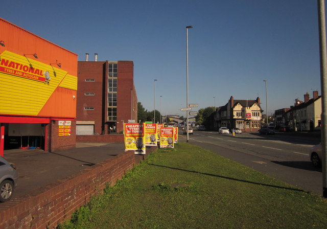
Image: © Derek Harper Taken: 7 Sep 2012
By the A34 north of town, with the National Tyre premises on the left, the Job centre beyond, and the Waggon and Horses ahead right of centre; see also http://www.geograph.org.uk/gridref/SJ9124?centi=SJ918241 . The pub has reopened after a period of closure.
Images are licensed for reuse under creativecommons.org/licenses/by-sa/2.0
Image Location
Latitude
52.814199
Longitude
-2.122806