New road link, Coneygrey Spinney
Introduction
The photograph on this page of New road link, Coneygrey Spinney by Alan Murray-Rust as part of the Geograph project.
The Geograph project started in 2005 with the aim of publishing, organising and preserving representative images for every square kilometre of Great Britain, Ireland and the Isle of Man.

There are currently over 7.5m images from over 14,400 individuals and you can help contribute to the project by visiting https://www.geograph.org.uk
New road link, Coneygrey Spinney
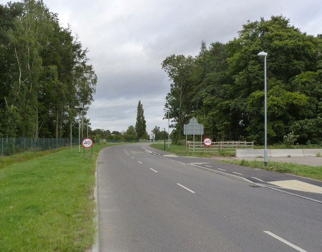
Image: © Alan Murray-Rust Taken: 14 Sep 2012
The access to the housing estate was severed by the widening of the A46 and a new link road has been provided, crossing part of the old airfield grounds.
Images are licensed for reuse under creativecommons.org/licenses/by-sa/2.0
Image Location


Leaflet Map data © OpenStreetMap
Latitude
53.015136
Longitude
-0.911236