House at Rock
Introduction
The photograph on this page of House at Rock by Nigel Mykura as part of the Geograph project.
The Geograph project started in 2005 with the aim of publishing, organising and preserving representative images for every square kilometre of Great Britain, Ireland and the Isle of Man.

There are currently over 7.5m images from over 14,400 individuals and you can help contribute to the project by visiting https://www.geograph.org.uk
House at Rock
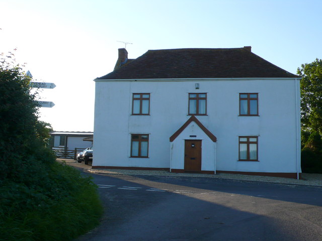
Image: © Nigel Mykura Taken: 22 Jul 2012
This house is on the road junction where the minor road down Rock Hill from Rock to West Sedgemoor crosses the minor road from Crimson Hill at the head of the Wrantage Inclined Plane to Fivehead. It would appear that at one time this road passed just to the right of this house but it has now been diverted and displaced about 40m east and so the junction is now staggered.
Images are licensed for reuse under creativecommons.org/licenses/by-sa/2.0
Image Location
Latitude
50.99965
Longitude
-2.960168