Bethel Chapel near Pantymwyn
Introduction
The photograph on this page of Bethel Chapel near Pantymwyn by John S Turner as part of the Geograph project.
The Geograph project started in 2005 with the aim of publishing, organising and preserving representative images for every square kilometre of Great Britain, Ireland and the Isle of Man.

There are currently over 7.5m images from over 14,400 individuals and you can help contribute to the project by visiting https://www.geograph.org.uk
Bethel Chapel near Pantymwyn
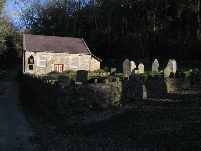
Image: © John S Turner Taken: 14 Jan 2007
This old chapel, built in 1825, is recorded as a Baptist Chapel on the 1878 O.S.map. It seems very remote today, but when it was built in 1825 the area was a hive of activity with many lead mines and lime kilns.
Images are licensed for reuse under creativecommons.org/licenses/by-sa/2.0
Image Location
Latitude
53.182674
Longitude
-3.20306