St Paul's Community Centre
Introduction
The photograph on this page of St Paul's Community Centre by Bill Boaden as part of the Geograph project.
The Geograph project started in 2005 with the aim of publishing, organising and preserving representative images for every square kilometre of Great Britain, Ireland and the Isle of Man.

There are currently over 7.5m images from over 14,400 individuals and you can help contribute to the project by visiting https://www.geograph.org.uk
St Paul's Community Centre
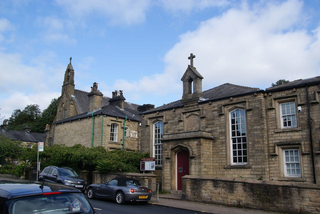
Image: © Bill Boaden Taken: 15 Sep 2012
A former church school erected in 1847. St Paul's Church is just beyond it.
Images are licensed for reuse under creativecommons.org/licenses/by-sa/2.0
Image Location
Latitude
53.595276
Longitude
-2.447341