United Reformed Church - West Moors
Introduction
The photograph on this page of United Reformed Church - West Moors by Martin Rowley as part of the Geograph project.
The Geograph project started in 2005 with the aim of publishing, organising and preserving representative images for every square kilometre of Great Britain, Ireland and the Isle of Man.

There are currently over 7.5m images from over 14,400 individuals and you can help contribute to the project by visiting https://www.geograph.org.uk
United Reformed Church - West Moors
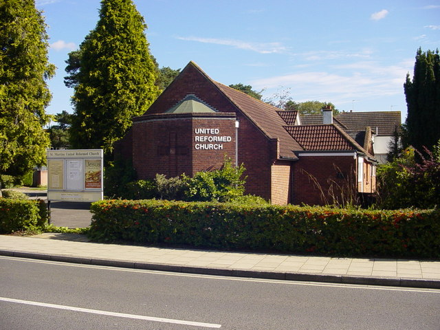
Image: © Martin Rowley Taken: 12 Sep 2012
This building (mostly) dates from the 1970s; a 'Congregational' church was built on this site in 1903 when West Moors was about to undergo its first (of many) spurts of development - later becoming part of the URC movement. The church lies centrally in the village, on the corner of Station Road and Moorlands Road here in West Moors. It is known formally as "St. Martin's, West Moors".
Images are licensed for reuse under creativecommons.org/licenses/by-sa/2.0
Image Location
Latitude
50.825047
Longitude
-1.888924