Mount Pleasant Golf Club, Lower Stondon
Introduction
The photograph on this page of Mount Pleasant Golf Club, Lower Stondon by Mick Malpass as part of the Geograph project.
The Geograph project started in 2005 with the aim of publishing, organising and preserving representative images for every square kilometre of Great Britain, Ireland and the Isle of Man.

There are currently over 7.5m images from over 14,400 individuals and you can help contribute to the project by visiting https://www.geograph.org.uk
Mount Pleasant Golf Club, Lower Stondon
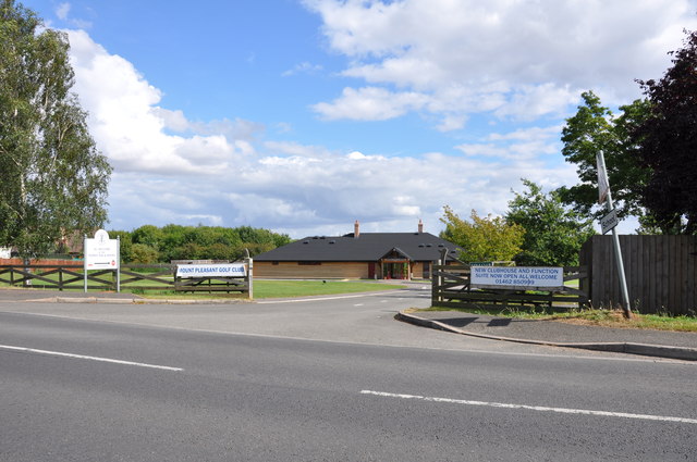
Image: © Mick Malpass Taken: 28 Aug 2012
Until recent years this was a working farm, and where the clubhouse now stands there used to be a paddock for free range hens.
Images are licensed for reuse under creativecommons.org/licenses/by-sa/2.0
Image Location
Latitude
52.002046
Longitude
-0.31758