Oat straw, Mains of Stobhall
Introduction
The photograph on this page of Oat straw, Mains of Stobhall by Richard Webb as part of the Geograph project.
The Geograph project started in 2005 with the aim of publishing, organising and preserving representative images for every square kilometre of Great Britain, Ireland and the Isle of Man.

There are currently over 7.5m images from over 14,400 individuals and you can help contribute to the project by visiting https://www.geograph.org.uk
Oat straw, Mains of Stobhall
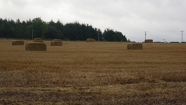
Image: © Richard Webb Taken: 9 Sep 2012
Big square bales in a field above the A93.
Images are licensed for reuse under creativecommons.org/licenses/by-sa/2.0
Image Location
Latitude
56.500923
Longitude
-3.396219