Junction of Fakeswell Lane and Hawthorn Way, Lower Stondon, Beds
Introduction
The photograph on this page of Junction of Fakeswell Lane and Hawthorn Way, Lower Stondon, Beds by Mick Malpass as part of the Geograph project.
The Geograph project started in 2005 with the aim of publishing, organising and preserving representative images for every square kilometre of Great Britain, Ireland and the Isle of Man.

There are currently over 7.5m images from over 14,400 individuals and you can help contribute to the project by visiting https://www.geograph.org.uk
Junction of Fakeswell Lane and Hawthorn Way, Lower Stondon, Beds
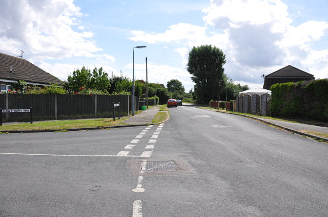
Image: © Mick Malpass Taken: 28 Aug 2012
Everything to the left of this stretch of Fakeswell Lane in the 1960's was farming land, growing corn etc.
Images are licensed for reuse under creativecommons.org/licenses/by-sa/2.0
Image Location
Latitude
51.997849
Longitude
-0.319631