Cairn on Castle Bank
Introduction
The photograph on this page of Cairn on Castle Bank by Philip Halling as part of the Geograph project.
The Geograph project started in 2005 with the aim of publishing, organising and preserving representative images for every square kilometre of Great Britain, Ireland and the Isle of Man.

There are currently over 7.5m images from over 14,400 individuals and you can help contribute to the project by visiting https://www.geograph.org.uk
Cairn on Castle Bank
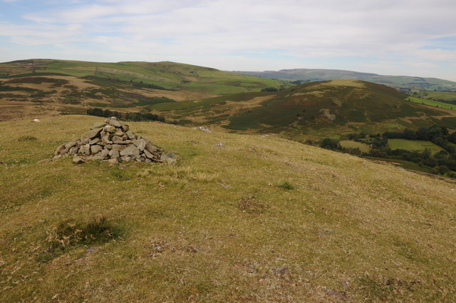
Image: © Philip Halling Taken: 8 Sep 2012
Castle Bank is so named because there are the remains of a hill fort, pictured here is the summit cairn with a view beyond to Gilwern Hill in the middle distance and Black Mixen on the horizon.
Images are licensed for reuse under creativecommons.org/licenses/by-sa/2.0
Image Location
Latitude
52.196186
Longitude
-3.336448