2012 : Village street, Lower Seagry
Introduction
The photograph on this page of 2012 : Village street, Lower Seagry by Maurice Pullin as part of the Geograph project.
The Geograph project started in 2005 with the aim of publishing, organising and preserving representative images for every square kilometre of Great Britain, Ireland and the Isle of Man.

There are currently over 7.5m images from over 14,400 individuals and you can help contribute to the project by visiting https://www.geograph.org.uk
2012 : Village street, Lower Seagry
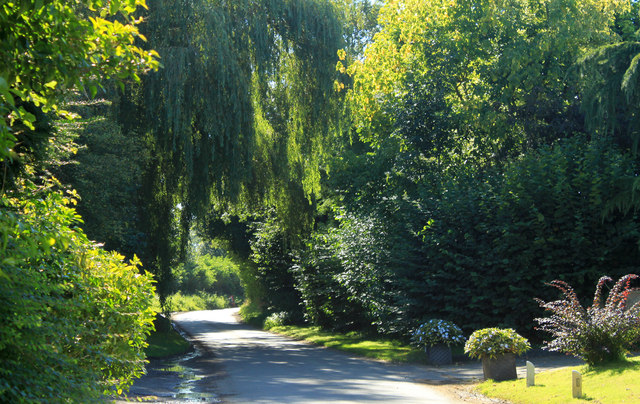
Image: © Maurice Pullin Taken: 7 Sep 2012
Near the centre of the village, walking through here you could be forgiven for thinking you were in one of the more attractive parts of one of the more attractive London parks. This I like.
Images are licensed for reuse under creativecommons.org/licenses/by-sa/2.0
Image Location
Latitude
51.528074
Longitude
-2.063666