Broadrashes
Introduction
The photograph on this page of Broadrashes by Anne Burgess as part of the Geograph project.
The Geograph project started in 2005 with the aim of publishing, organising and preserving representative images for every square kilometre of Great Britain, Ireland and the Isle of Man.

There are currently over 7.5m images from over 14,400 individuals and you can help contribute to the project by visiting https://www.geograph.org.uk
Broadrashes
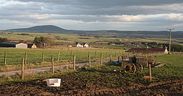
Image: © Anne Burgess Taken: 15 Jan 2007
There are still several farms on Broadrashes, seen here from Hillhead (for the avoidance of confusion, there are two farms named Hillhead up here, and this is the one which is not named on the Landranger map). Just left of the centre of the photograph a new house is nearing completion. In the distance is the pleonastic Knock Hill.
Images are licensed for reuse under creativecommons.org/licenses/by-sa/2.0
Image Location
Latitude
57.580214
Longitude
-2.949819