Plantation Side
Introduction
The photograph on this page of Plantation Side by John Sutton as part of the Geograph project.
The Geograph project started in 2005 with the aim of publishing, organising and preserving representative images for every square kilometre of Great Britain, Ireland and the Isle of Man.

There are currently over 7.5m images from over 14,400 individuals and you can help contribute to the project by visiting https://www.geograph.org.uk
Plantation Side
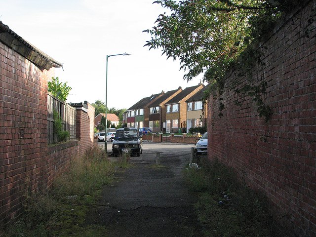
Image: © John Sutton Taken: 13 Sep 2012
The Darley Road end of the twitchel which winds through the former Lindley & Lindley site. The houses ahead are on the middle part of Plantation Side, which is a road.
Images are licensed for reuse under creativecommons.org/licenses/by-sa/2.0
Image Location
Latitude
52.967576
Longitude
-1.179256