Bobbers Mill Bridge from the footbridge
Introduction
The photograph on this page of Bobbers Mill Bridge from the footbridge by John Sutton as part of the Geograph project.
The Geograph project started in 2005 with the aim of publishing, organising and preserving representative images for every square kilometre of Great Britain, Ireland and the Isle of Man.

There are currently over 7.5m images from over 14,400 individuals and you can help contribute to the project by visiting https://www.geograph.org.uk
Bobbers Mill Bridge from the footbridge
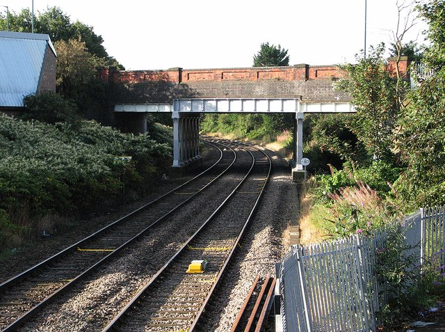
Image: © John Sutton Taken: 13 Sep 2012
Bobbers Mill Bridge was built in the 1930s to carry a new, widened Alfreton Road. It superseded a level crossing on the old road, which crossed the railway immediately in front of the camera. In the days of steam this was a good place to collect engine numbers - if you liked coal trains, the staple traffic of the Midland Leen Valley line.
Images are licensed for reuse under creativecommons.org/licenses/by-sa/2.0
Image Location
Latitude
52.966793
Longitude
-1.183142