Morton Road
Introduction
The photograph on this page of Morton Road by Alan Walker as part of the Geograph project.
The Geograph project started in 2005 with the aim of publishing, organising and preserving representative images for every square kilometre of Great Britain, Ireland and the Isle of Man.

There are currently over 7.5m images from over 14,400 individuals and you can help contribute to the project by visiting https://www.geograph.org.uk
Morton Road
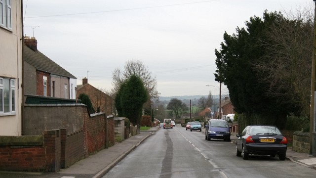
Image: © Alan Walker Taken: 15 Jan 2007
This photograph of Morton Road is taken outside Image Off the right of the picture is the Image public house. On the left, a gap between the brick wall and the concrete block wall provides access to Image For a more south-westerly (ahead) view of Morton Road, click here, Image Behind the viewpoint is the junction with Image where Morton Road continues as Image
Images are licensed for reuse under creativecommons.org/licenses/by-sa/2.0
Image Location
Latitude
53.153997
Longitude
-1.368164