Port Cardloch
Introduction
The photograph on this page of Port Cardloch by Mary and Angus Hogg as part of the Geograph project.
The Geograph project started in 2005 with the aim of publishing, organising and preserving representative images for every square kilometre of Great Britain, Ireland and the Isle of Man.

There are currently over 7.5m images from over 14,400 individuals and you can help contribute to the project by visiting https://www.geograph.org.uk
Port Cardloch
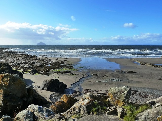
Image: © Mary and Angus Hogg Taken: 12 Sep 2012
The Firth of Clyde coast in south Ayrshire has lots of small bays and inlets called "ports", many of which were associated with smuggling during the 18th century. Viewed looking towards Ailsa Craig on a bright and breezy September afternoon.
Images are licensed for reuse under creativecommons.org/licenses/by-sa/2.0
Image Location
Latitude
55.214504
Longitude
-4.882113