By Tumbling Bay Weir
Introduction
The photograph on this page of By Tumbling Bay Weir by Des Blenkinsopp as part of the Geograph project.
The Geograph project started in 2005 with the aim of publishing, organising and preserving representative images for every square kilometre of Great Britain, Ireland and the Isle of Man.

There are currently over 7.5m images from over 14,400 individuals and you can help contribute to the project by visiting https://www.geograph.org.uk
By Tumbling Bay Weir
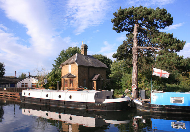
Image: © Des Blenkinsopp Taken: 13 Sep 2012
The weir is below the walkway on the left. The house is boarded up, which seems a shame, but the garden is enjoyed by moored up boaters.
Images are licensed for reuse under creativecommons.org/licenses/by-sa/2.0
Image Location
Latitude
51.808551
Longitude
-0.023359