Hempshalls
Introduction
The photograph on this page of Hempshalls by Simon Carey as part of the Geograph project.
The Geograph project started in 2005 with the aim of publishing, organising and preserving representative images for every square kilometre of Great Britain, Ireland and the Isle of Man.

There are currently over 7.5m images from over 14,400 individuals and you can help contribute to the project by visiting https://www.geograph.org.uk
Hempshalls
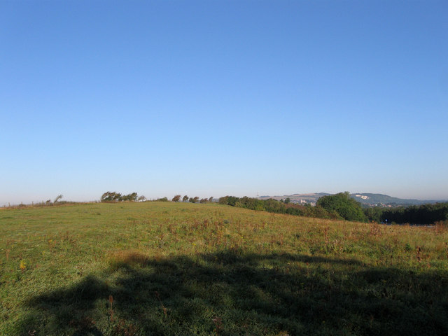
Image: © Simon Carey Taken: 9 Sep 2012
The name of the field according to an 1822 estate map of Southerham Farm that lies between the A27 and the disused Southerham Grey Pit. Another disused chalk quarry, Offham Pit, is visible in the distance on the side of Offham Hill.
Images are licensed for reuse under creativecommons.org/licenses/by-sa/2.0
Image Location
Latitude
50.862375
Longitude
0.030998