The Miners Arms
Introduction
The photograph on this page of The Miners Arms by Alan Hunt as part of the Geograph project.
The Geograph project started in 2005 with the aim of publishing, organising and preserving representative images for every square kilometre of Great Britain, Ireland and the Isle of Man.

There are currently over 7.5m images from over 14,400 individuals and you can help contribute to the project by visiting https://www.geograph.org.uk
The Miners Arms
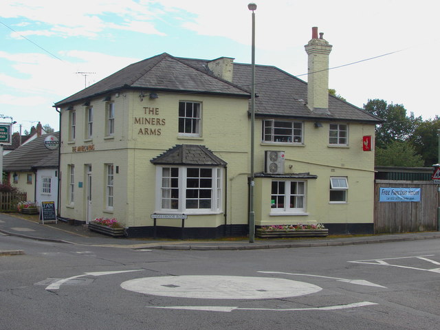
Image: © Alan Hunt Taken: 13 Sep 2012
The Miners Arms public house on the junction of Hamesmoor Road and Mytchett Road. This public house predates the 1870s at which time it stood in glorious isolation in farmland.
Images are licensed for reuse under creativecommons.org/licenses/by-sa/2.0
Image Location
Latitude
51.295761
Longitude
-0.727493